RoboGEO 6.3.2 review
DownloadGeocode digital photos and export to Google Earth, SHP, DXF, Flickr, and more.
|

|
RoboGEO 5.3 is editors software developed by Pretek, Inc..
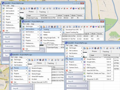
Geocode photos (including RAW) from a GPS. Stamp the images or write (lossless) to the EXIF headers. Create web pages using Google Maps, export KML/KMZ files to Google Earth, upload to Flickr, export shapefiles (SHP) or AutoCAD DXF files. Supports Garmin GPS units (USB or COM), but no GPS is required. Geotag from a tracklog, waypoints, NMEA, famous place name or a GPX file. Easy to use. Free lifetime upgrades.
This is a demo version of the program. In order to use full version features, please go online and order a full version of RoboGEO 5.3. The full version is available at regnow and Pretek, Inc. website for $39.95. RoboGEO 5.3 supports English interface languages and works with Windows 98/XP/Vista.
We have tested RoboGEO 5.3 for spyware and adware modules. The software is absolutely safe to install.
Our website has thoroughly tested graphic apps product RoboGEO 5.3, written the review and uploaded installation file (8469K) to our fast server.
Downloading RoboGEO 5.3 will take minute if you use fast ADSL connection.
RoboGEO 6.3.2 search tags geocode georeference geotag photo image exif nmea google earth google maps flickr

