ediTrail 1.0 review
DownloadCreate/Edit/Display/Management/Import/Export Trails/Routes on numerous maps
|

|
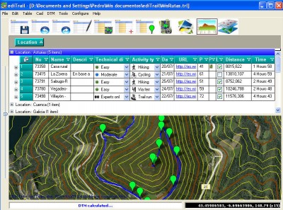
You can manage unlimited trails/routes on a simple and flexible table where you can export and import from GPS files, (gpx format). You can manage/view on table all the taken photographs in each trail/waypoint. Each trail/route can be edited over the map with vectorial CAD tools to create, move, split, join, invert trails and trackpoints, (trail vertices). ediTrail works in desktop mode and into CAD systems, (Autocad/Bricscad/Zwcad).
ediTrail 1.0 keywords trail route geographical latitude longitude elevation photo track way point track point

